

Map of London (1823)
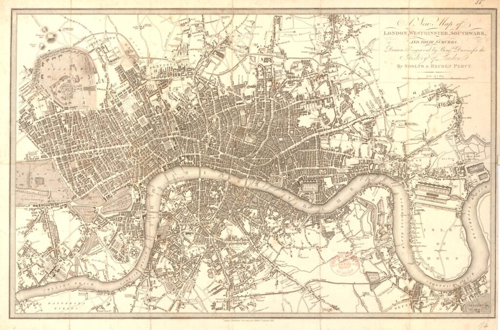
Image Information
Citation: Davies, Benjamin (printmaker); Thomas Boys (publisher). A New Map of London, Westminster, Southwark, and their suburbs. 1823. Map/book illustration; print (etching and engraving), 26.8 x 40.0 cm. British Museum, London.Permissions: Image shared under a Creative Commons Attribution-NonCommercial-ShareAlike 4.0 International (CC BY-NC-SA 4.0) license.
Credit: © The Trustees of the British Museum
Associated timeline dates:
Tagged: Shepherd