

1857 Map of Paris (Detail) Showing Rue d’Enfer
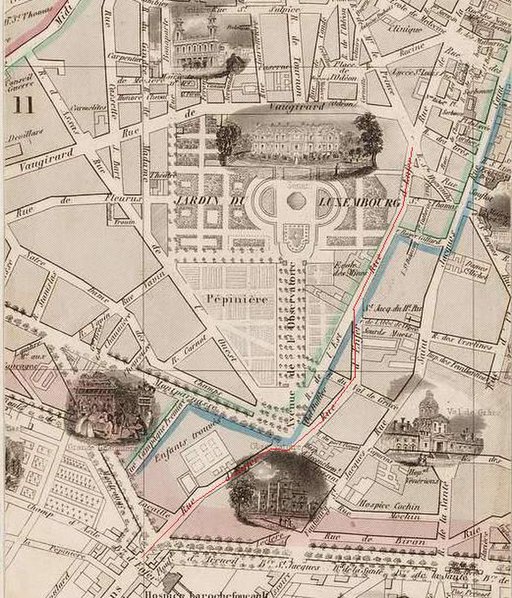
Image Information
Citation: Extract du plan Benard (1857 avec trace en rouge de la rue d’enfer from Vuillemin A. and Bénard. 1857. Nouveau plan illustré de la ville de Paris : avec le système complet de ses fortifications et forts détachés, et des communes de la banlieue. Scale scale: 1:11.000. Dimensions height: 83 cm (32.6 in); width: 107 cm (42.1 in).Permissions: This file is licensed under the Creative Commons Attribution-Share Alike 4.0 International license.
Credit: WIkimedia
Associated timeline dates:
Tagged: